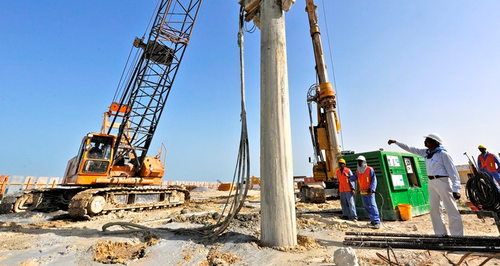
Geotechnical & Geophysical Studies
The geotechnical & geophysical research task is to obtain and process information to help the optimal solution, design, and implementation of engineering work in technical and economic terms.
There are geotechnical & geophysical surveys for various construction fields, but the most frequently implemented type is a survey for buildings' foundation.
It provides the data necessary to calculate the load-bearing capacity and design the foundation geometry. A geotechnical & geophysical survey is carried out not only for new constructions but also for reconstruction buildings, during which the foundations are loads, or changes in the distribution of their loads occur.
RS Planlama Proje provides methodological research, unique geophysical & geotechnical measurements, and consulting services using the industry's latest technology.
• Geotechnical survey (for construction, finding out the condition of protective dikes of rivers and dams, mapping of engineering networks, the study of landslides)
• Geophysical studies for environmental protection purposes (monitoring and control of landfill subsoil tightness, soil and groundwater pollution)
• Geophysical survey for hydrogeology (search and protection of groundwater resources)
• Geophysical survey for geology (exploration and exploration of mineral deposits, mapping of geological structures)
